Louisiana - United States 2026-05-08 Friday 30.56N, -91.04W
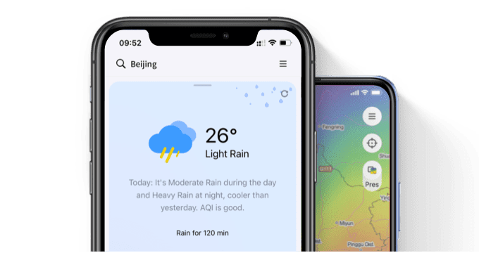
Visualize Your Weather
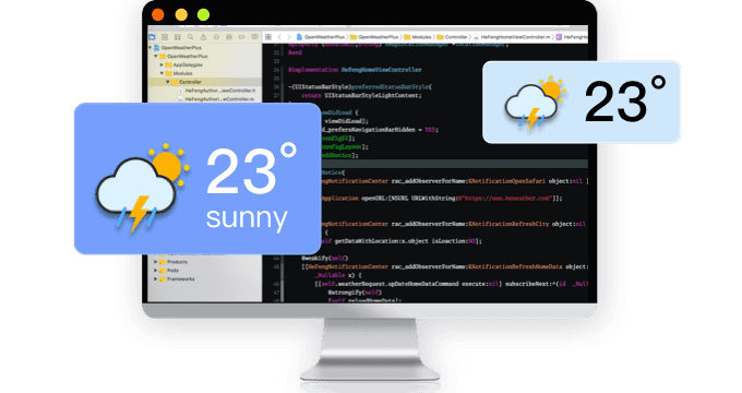
Need weather data service?
QWeather APP
Visualization weather APP
© 2026 qweather.com All rights reserved